
Basic Land Navigation Training for Young Biodiversity Warriors
-
Date:
13 Jan 2023 -
Author:
KEHATI
For those who work in the outdoors, such as SAR team members, military, and biodiversity researchers, land navigation is a fundamental science that they must have a solid foundation in. One can determine the intended direction from a location on the map by learning this knowledge. A trustworthy navigator can identify which way to go next by first determining where he or she is on the map.
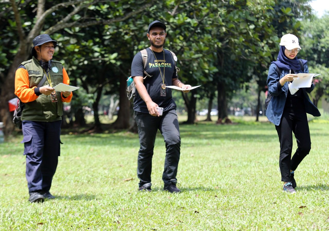
Young Biodiversity Warriors received introductory land navigation training from KEHATI on September 24, 2022 at the Cibubur Campsite, realizing the value of learning this information for performing activities in the outdoors.
“Future challenges to biodiversity protection will get harder and more complicated. Young biodiversity warriors should gain more information and skills from this training. Also, the training participants may take part in extracurricular activities such as helping disaster victims and others”, Rika Anggraini, KEHATI Director of Partnerships and Communication, added.
The most fundamental technical provision that must be provided to training participants is map and compass proficiency. The title, number, coordinates, contour, scale, and legend on the primary map, as well as their purpose and significance, must be understood by participants.
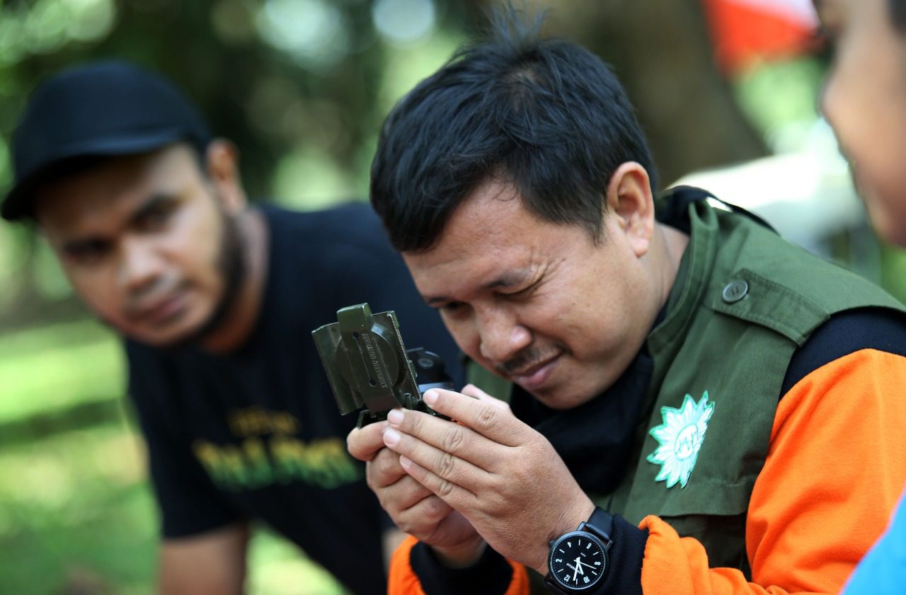
Following that, the participants learned how to interpret the directions of north, south, west, east, and so on using a compass. The north position pointer’s angle, which is shown by the indicator visible through the red needle, is the most crucial. Then it shows the part of the compass that includes the scale numbers 0-360 and the directions letters N, S, W, E. Also, it must be made sure in advance that there are no iron-containing objects next to the compass because they obstruct the needle’s movement.
The most fundamental technical provision that must be provided to training participants is map and compass proficiency. The title, number, coordinates, contour, scale, and legend on the primary map, as well as their purpose and significance, must be understood by participants.
The trainees were then shown how to interpret the directions of north, south, west, east, and so on using a compass. The north position pointer’s angle, which is shown by the indicator visible through the red needle, is the most crucial. Then it shows the part of the compass that includes the scale numbers 0-360 and the directions letters N, S, W, E. Iron-containing substances should also be kept away from the compass because they can obstruct the needle’s movement. This must be checked in advance.
In addition to compasses and maps, various navigational aids were introduced to the participants. A tool called Roamer can be used to read a point’s coordinates on a map. A square-shaped protractor called the Douglas is used to determine the angles’ directions.
The Global Positioning System (GPS) is a satellite-based navigation system that uses microwave signals from at least 24 satellites to synchronize signals that can be used to calculate location, direction, speed, and time.
A computer application called Google Earth gives users a three-dimensional (3D) visual representation of the world based on satellite, aerial, and GIS (Geographic Information System) images that allow them to see the terrain of the planet from a variety of angles.
Journalists and members of the general public who are interested in protecting and utilizing Indonesia’s biodiversity attended the program. It is delivered consistently each month. The information offered relates to their professional requirements in the fields of wildlife photography, camera trap operation, urban farming, as well as other relevant skills like article and proposal writing.